Agility Robotics
Digit with Doodle Labs RM-1700 Series Radios


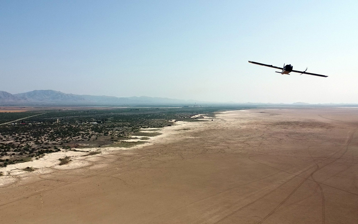
Long Range:
Uninterrupted connectivity for short to ultra long range applications.
Interference Avoidance:
Advanced anti jamming and resiliency features for reliable performance in contested environments.
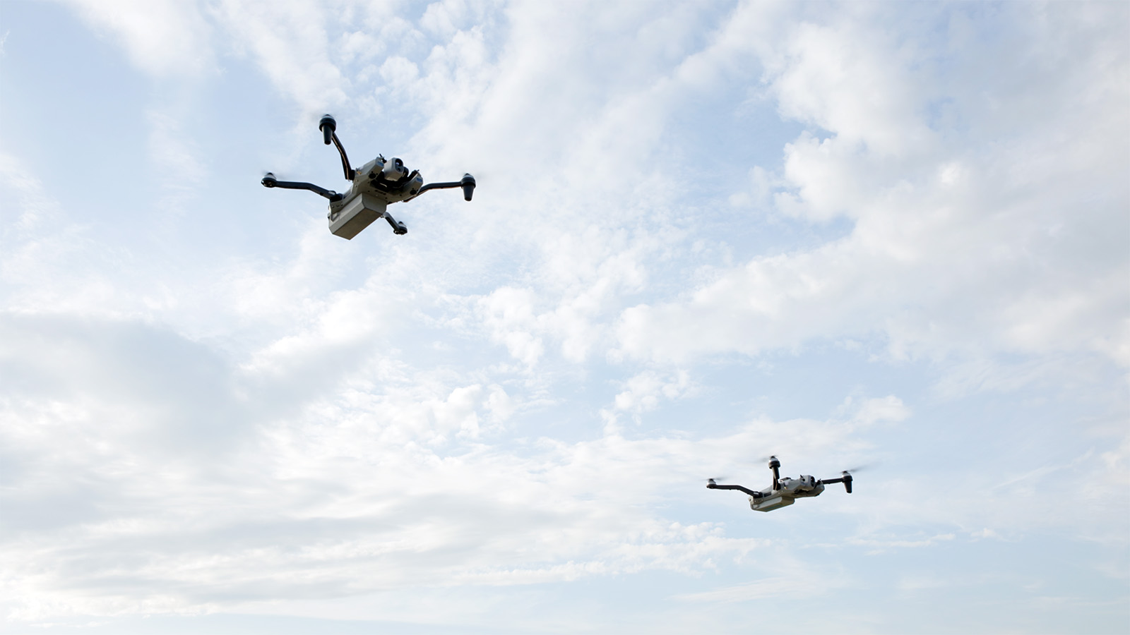
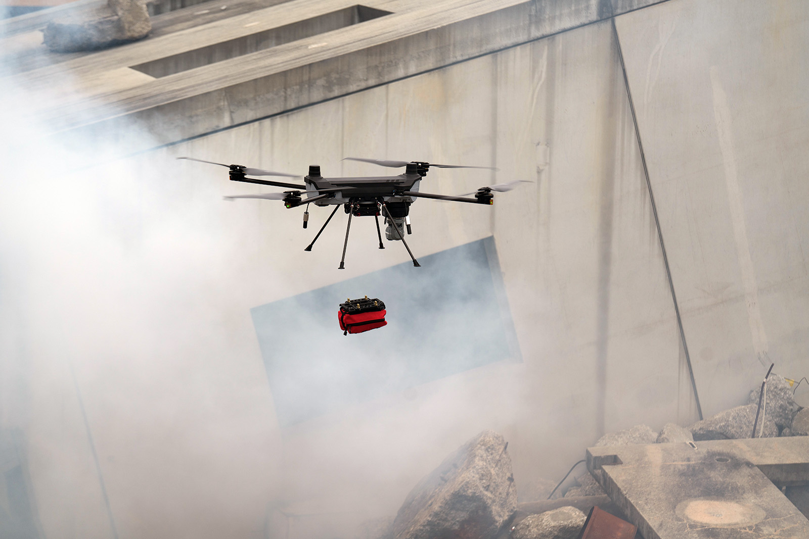
Mesh:
Resilient connectivity across large-scale self-forming and self-healing mesh networks.
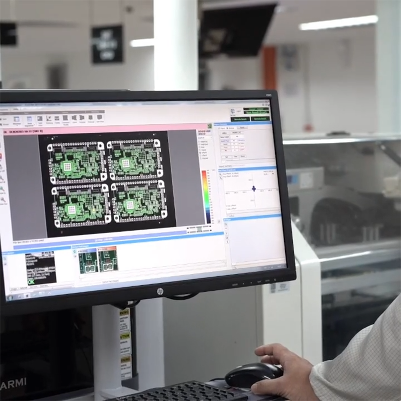
Supply Chain:
High volume production built to scale and keep missions on schedule.
High Throughput:
Up to 80 Mbps to handle real-time data transmission from any kind of payload.
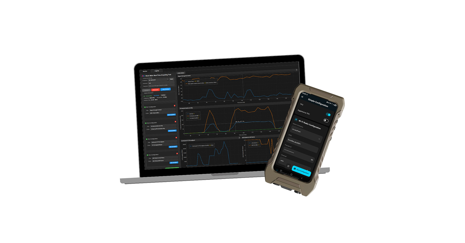

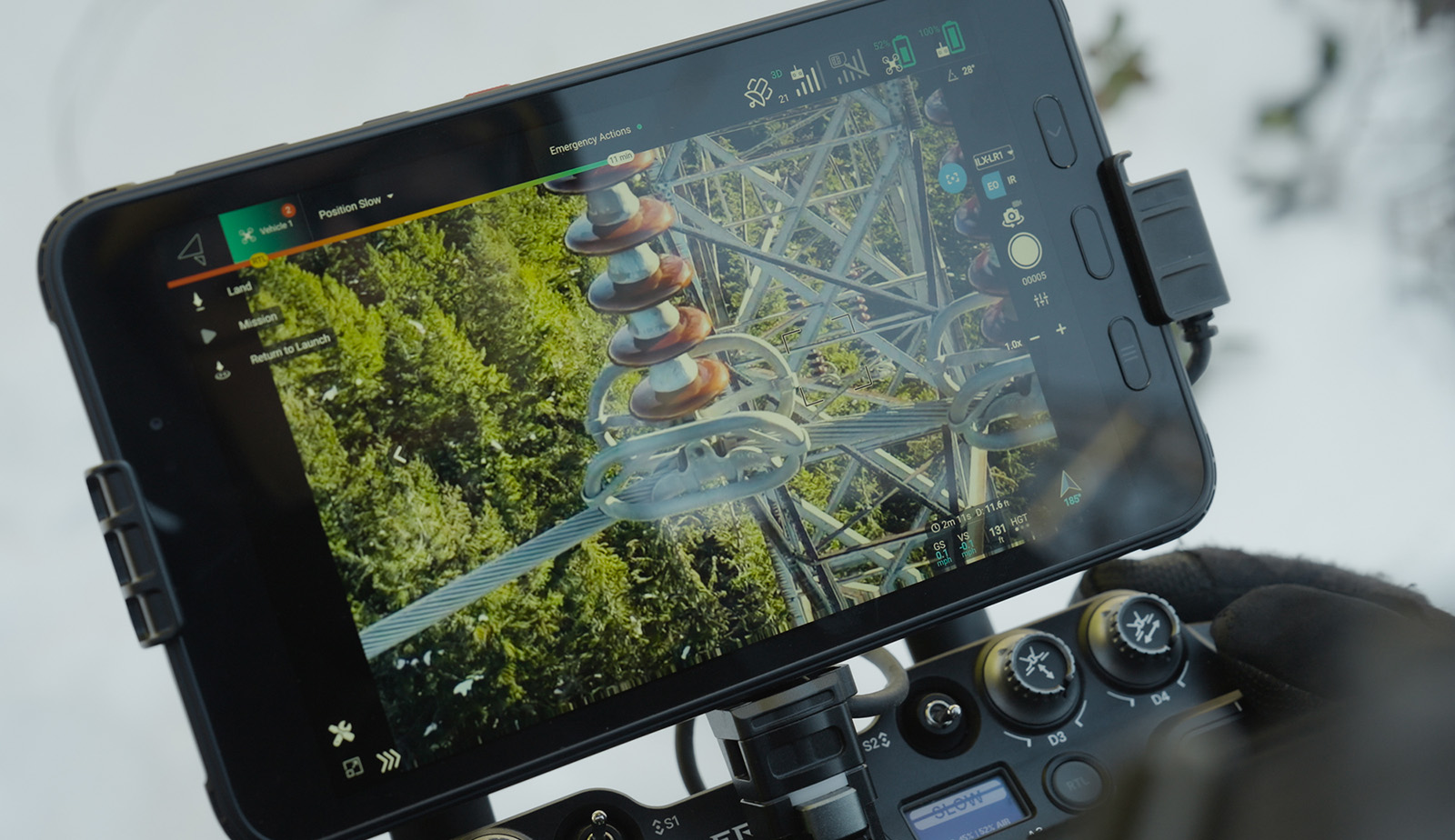
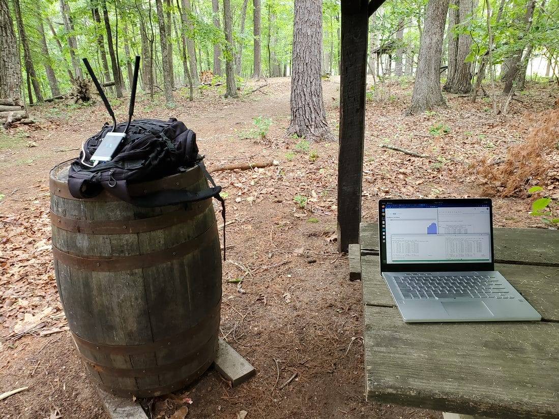
Our patented mobile mesh technology is built for the most demanding, high-mobility environments. With a cutting-edge waveform, Mesh Rider is the intelligence behind our wireless platform delivering ultra-reliable, low-latency, high-speed datalinks across long distances. Mesh Rider is designed for resilient communications in complex, mission-critical operations.


Compact Without Compromise.
80 Mbps (20 MHz channel)
Over 50+ km streaming video
48.3 grams
255MHz – 2510 MHz;
including L and S Band
Designed for drones & deployed at scale globally.
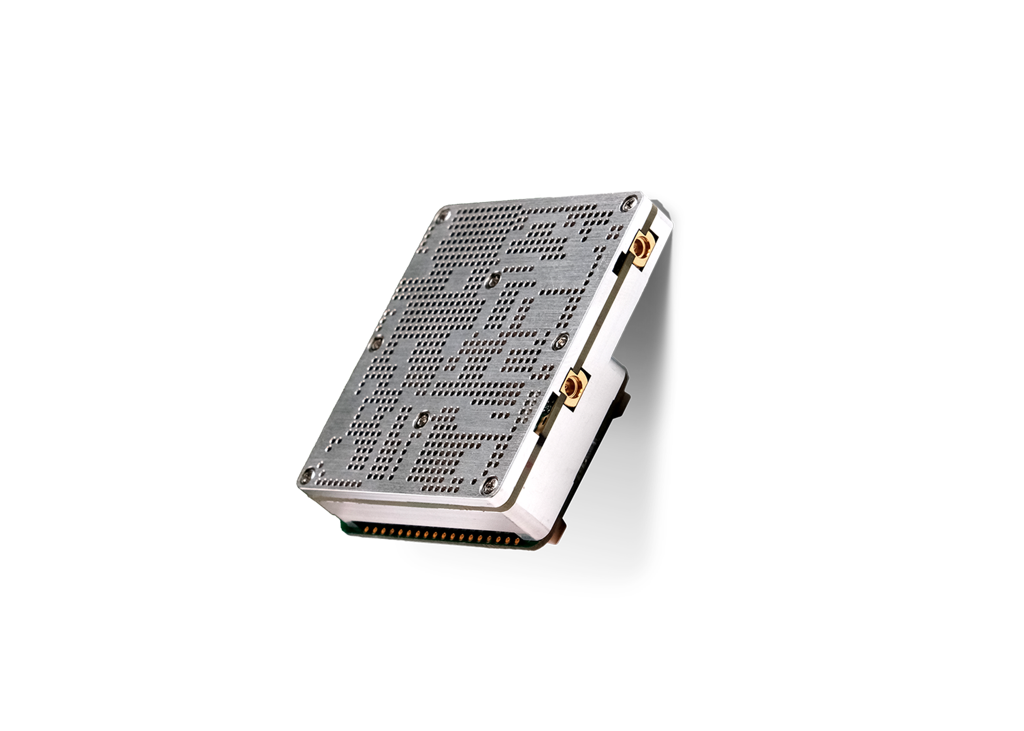
80 Mbps (20 MHz channel)
Over 50+ km streaming video
34 grams
255MHz – 2510 MHz;
including L and S Band
Versatile, designed for ease of integration
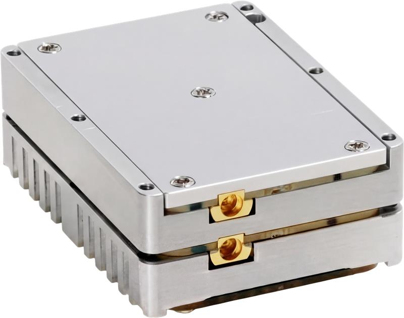
80 Mbps (20 MHz channel)
Over 50+ km streaming video
102 grams
255 MHz – 5925 MHz;
including L, S, and C Band
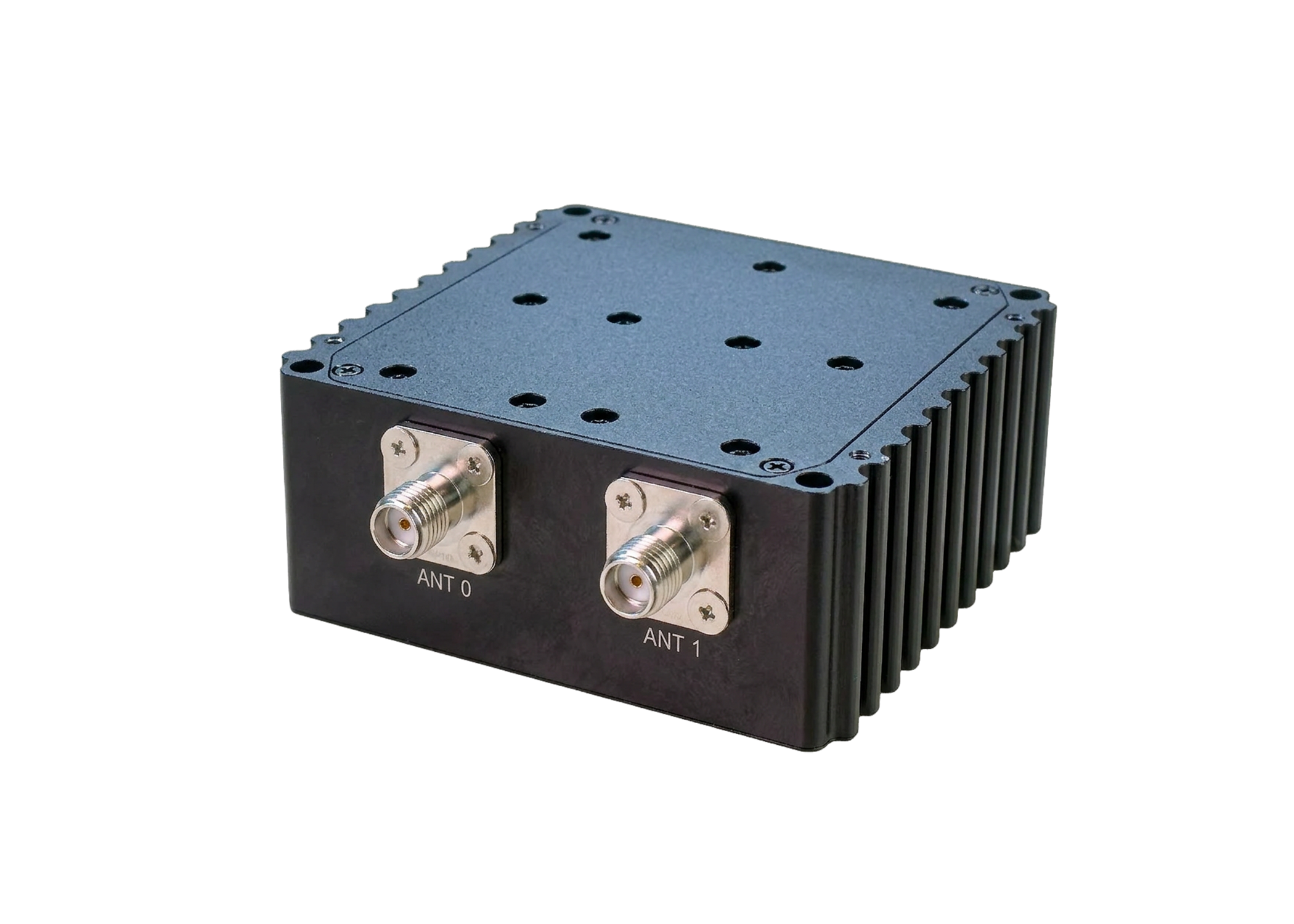
Designed to extend range and strengthen links in demanding RF environments.
Maintains high data rates by improving signal strength and link quality
Extends operational range through 36 dBm (4W) transmit amplification
147 grams
4400 – 6400 MHz;
C Band
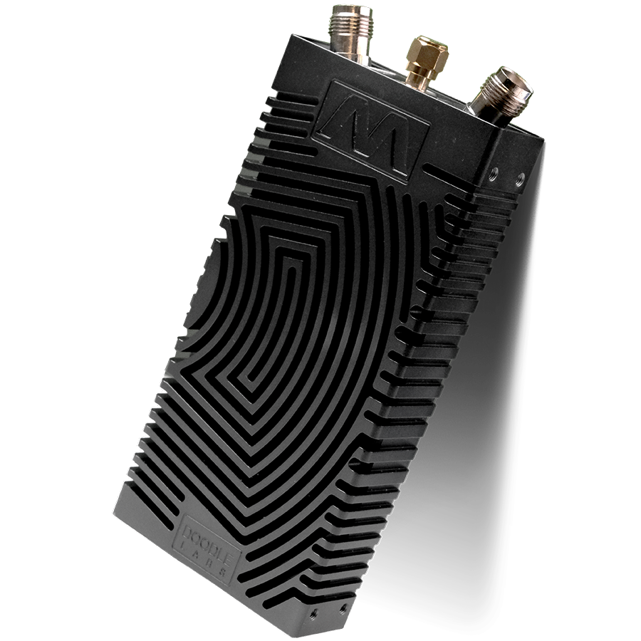
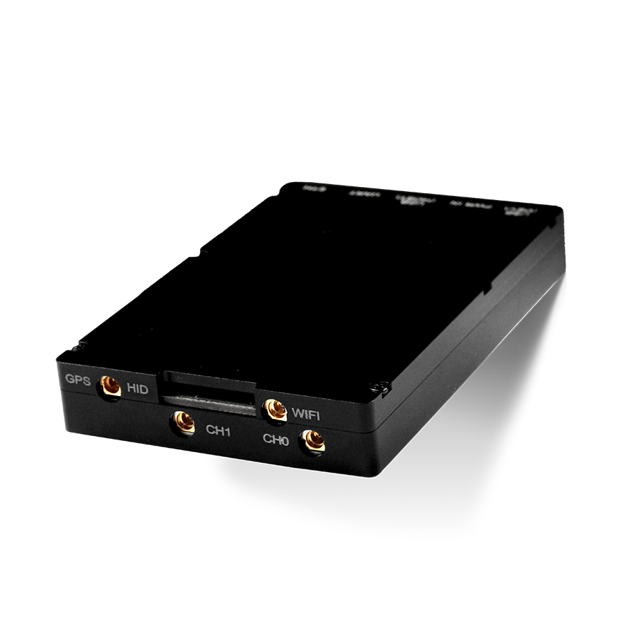
Ruggedized and easy to deploy
80 Mbps (20 MHz channel)
Over 50+ km streaming video ground to air, up to 2 km ground to ground
311 grams
255 MHz – 5925 MHz;
including L, S, and C Band

Digit with Doodle Labs RM-1700 Series Radios


to learn how Doodle Labs can meet your defense needs.